|
|
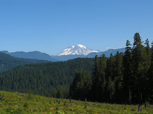
| The
road to Windy Ridge begins as a two-lane country road, winding its
way through canopies of green interspersed with wonderful scenery
such as this view of Mount Rainier off in the distance. |
|
|
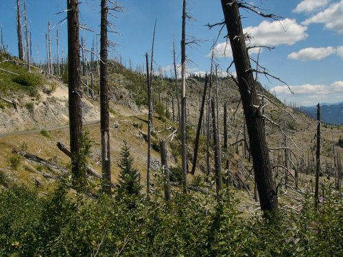
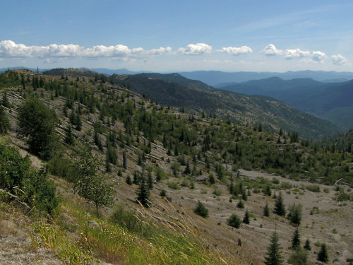
| Suddenly
the road takes a sharp turn and wow, we're into what is known as
the Blast Zone. The 1980 blast blew trees down like matchsticks.
( map of blast zone ) |
|
|
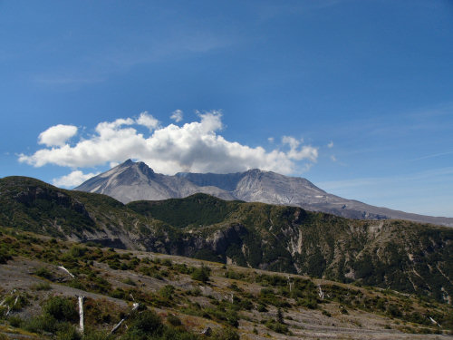
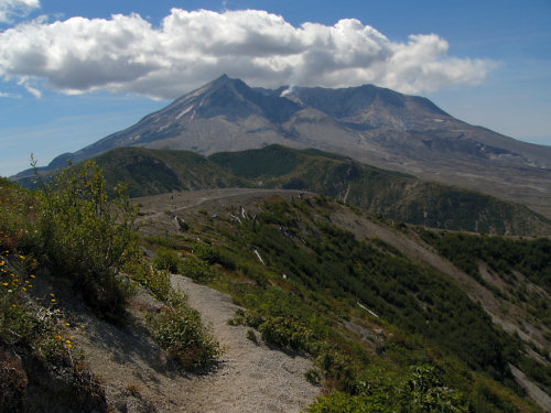
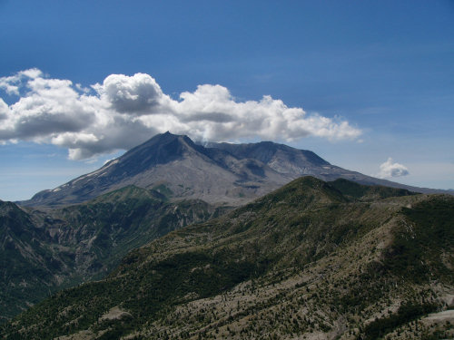
| After
miles of winding, narrow roads here's our first glimpse of The Mountain.
It's awesome! |
|
|
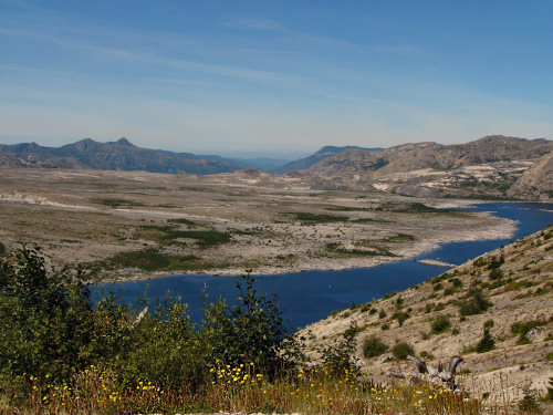
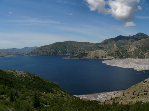
| We
parked at Windy Ridge, the end of the road. This is Spirit Lake.
The mud flow from the eruption swept into the lake, raised its level
and changed its shape. |
|
|
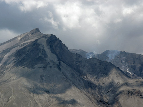
| While
we were there, steam escaped from Mount St. Helens' crater in a
number of different places. We kept hoping for an ash cloud, but
no such luck. |
|
|
| After
lunch, we climbed a steep flight of 434 steps to a lookout, and
I walked along a trail for a little way. The climb was brutal, but
the view was worth it. At Windy Ridge we were roughly 3 1/2 miles
away from the volcano. |
|
|
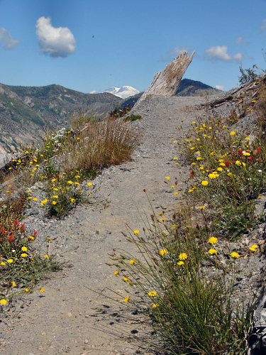
| The
trail was lined with wildflowers, providing a splash of bright color
against the stark and dry landscape. Just peeking over the mountains
at the back is Mount Rainier. |
|
|
| From
the vantage point of the lookout we could see the bottom two thirds
of Mount Adams off in the East. |
|
|
| Later
we paused at another lookout for a closer look at Spirit Lake. Floating
in the lake are bleached out logs, debris from the eruption in 1980.
|
|
|
| On
our way back, we stopped at several of the many viewpoints along
the road. |
|
|
| As
we drove along, we noticed varying stages of new growth amongst
the dead trees. And before we knew it, we were out of the Blast
Zone and into the greenery. |
| |
| <
more pictures > |