| 
| Amazingly,
we awoke to sunny skies on Saturday, June 19th. With a threat of thunderstorms
over the Cascade foothills we decided to head north and west, to the Olympic Peninsula
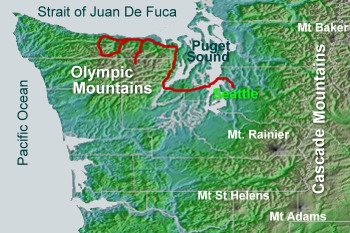
to visit Hurricane
Ridge in Olympic National
Park. The panorama at the end of the road is outstanding,
If you're
unfamiliar with Washington State, I've included a map. |
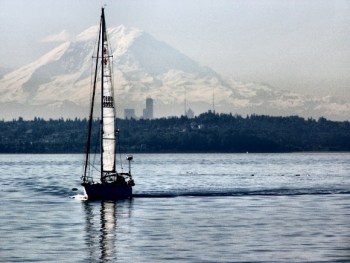
| From
the ferry, travelling from Edmonds across Puget Sound to Kingston, on the Olympic
Peninsula we had a great look at Mount Rainier to the south, fading into the haze. |
|
We
drove west across the Hood Canal Bridge and north towards Sequim
(pronounced Skwim) and Port Angeles where we entered Olympic National
Park for a 15 mile drive to the Visitors Center at the top of
the mountain. |
|
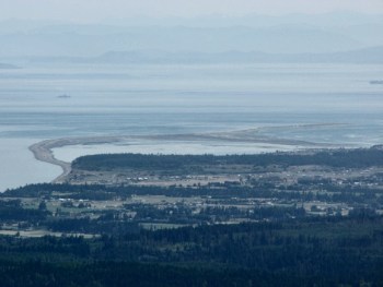
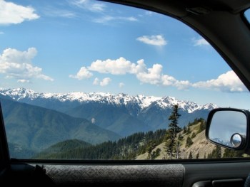
There
are a number of lookouts on the way up. Here is a picture taken
looking sort of north-eastward. The thin curve of land is called
Dungeness Spit, the world's longest natural sand spit and a wildlife
preserve.
If you squint your eyes and look carefully, you can see the shadows
of the Cascade Mountains in the background. |
|
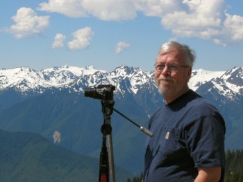
At another
lookout Tim set up his tripod in order to take a panorama of
the scene. (He doesn't look too happy, does he?)
Click below to see his picture. The road is visible in the right
hand side of the photo. :D

|
| It
was hard to keep our eyes on the road with scenery like this whizzing past. The
road, however, was not that wide, and in many places there were no guardrails
and a sheer drop. |
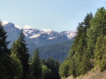
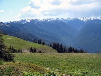
| At
the top we were treated to a vista of beautiful Alpine meadows and in the distance,
the forested slopes and snow-capped Olympic Mountains. It was quiet and peaceful
(except for the noise of the fleet of motorcycle tourers) and we could hear a
grouse calling in the distance.
This is the view looking South. |
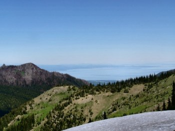
| Looking
north, I could see the distant blue of the Strait of Juan De Fuca and yes, that
is a small patch of snow in the front of the picture. There were little piles
of snow here and there at the end of the road. |